Battles That Changed the World
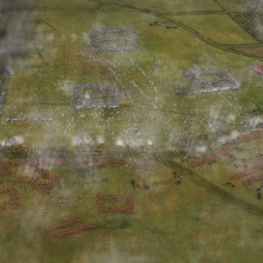
Battles That Changed the World. Following on from the first successful Battlefields Magazine Against All Odds this second edition Battles That Changed the World is about decisive battles that have altered the course of history. This time the focus is on Hastings 1066, Waterloo in 1815 and Stalingrad 1942-3. Commissioned by Key Publishing and authored by renowned military historian Robert Kershaw to...
One Man and his Bike – Ebury Press
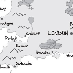
One Man and his Bike is about Mike Carter’s journey around the edge of Britain by bike. Commissioned by Ebury Press to add an illustrative feel to a traditional map to provide a little handmade feel with the illustrated icons of the places that Mike visited on his 5,000 miles journey.
Detour de France – Ebury Press
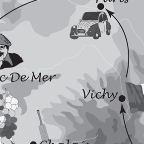
Commissioned by Ebury Press to illustrate an Englishman search of a continental education in his journey around France. Picking a number regional aspects to illustrate the journey. After a cartoony yet actuate feel the map gives a sense of fun to compliment the story. Published: 7/5/2009
Extreme Rambling – Ebury Press
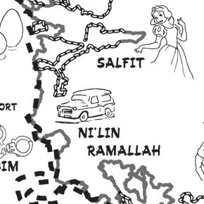
‘Good fences make good neighbours, but what about bad ones?’ Comedian Mark Thomas and Ebury Press commissioned Mitchells Maps to provide design and illustrations for his new book, entitled Extreme Rambling – a walk along the entire length of the security barrier between Israel and Palestine. The book details Mark Thomas’s excursion, speaking to both...
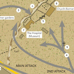
Against All Odds, Battlefields Magazine for WH Smiths
Against all Odds is about the drama of battles against impossible odds. Commissioned by Ian Allan and military historian Robert kershaw to produce this bookazine coving all aspects of design and mapping, both 2 & 3d. Release via Ian Allan Publishing and WH Smiths.
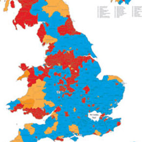
UK Political Constituencies – Online
A detailed yet clean colour map of the United Kingdom (omitting Northern Ireland – Separate map) outlining the position of the political parties as they stood in 2005. Linked with information graphics to highlight the actual percentages of the votes cast.
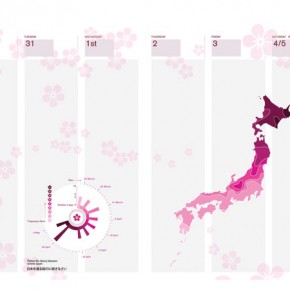
Japanese bento box – Bespoke
A play on the traditional Japanese Bento Box to create a single presentation box for a week to page diary. Example shown is a map of Japan predicting the spread north of the Sakura (cherry blossom) annually celebrated within Japanese culture.
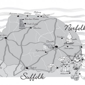
The Handbag and Wellies Yoga Club – Ebury Press
Commissioned by Ebury Press to illustrate a funny and heart-warming true story about one woman’s search for love and friendship in the lotus position. Being less precise but giving a quirky feel to match the narrative of the story.

Awakening Giant – Penguin Books
An illustrative map outlining the shape of India via a circuit board to indicate of the book theme of the emergence of India as a powerful industry within the electronics and IT world.
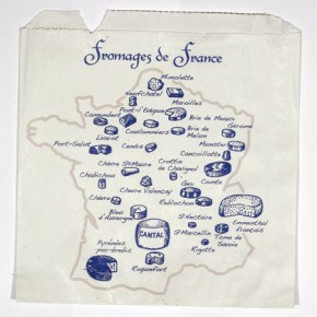
Fromages de France
A clean, simple illustrative map of France showing the locations of regional cheeses in their traditional shape. Produced for a local trader during a cultural food show.
