Battles That Changed the World
Battles That Changed the World. Following on from the first successful Battlefields Magazine Against All Odds this second edition Battles That Changed the World is about decisive battles that have altered the course of history. This time the focus is on Hastings 1066, Waterloo in 1815 and Stalingrad 1942-3. Commissioned by Key Publishing and authored by renowned military historian Robert Kershaw to...
2 Para Helmand maps signed off
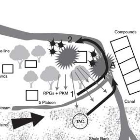
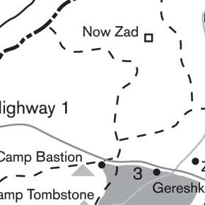
Mitchells Maps have created 8 new maps for a new title about 2 Para deployment to Helmand, Afghanistan, by Major Russ Lewis. Book to be released by Random House Publishing shortly.
New maps for Random House Publishing
Mitchells Maps have been approached by Random House Publishing to produce 8 new maps and artwork for a new title about 2 Para deployment to Helmand, Afghanistan, by Major Russ Lewis. Stand by to see the final results here.
Paula Scher wonderful typographic maps
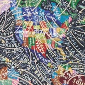
This article by Steven Heller (designer and writer) interviews Paula Scher to understand her reasoning to paint such wonderful maps to get away from the design life within Pentagram. Read more here
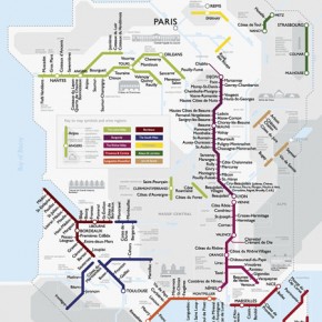
Next Stop Beaujolais: A Metro Map of French Wines
A new take on the underground map, giving you stops along the wines of France. http://bigthink.com/ideas/40384
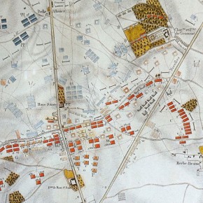
Waterloo, 1815!
Mitchell’s Maps gains a new commission to produce a collection of flat and 3D mapping for a new partworks magazine for Ian Allan Publishing. Reuniting with military author Robert Kershaw, whom we previously work with for ‘Against All Odds’, this new 16 page, 32 issue magazine brings a new perspective on this famous battle, looking...
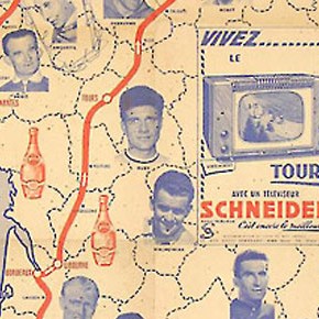
Vintage Tour de France Map
With this years Tour de France providing some thrilling finishes and some spectacular crashes, here’s a great vintage tour map from 1957. Here are some further great images via a google search.
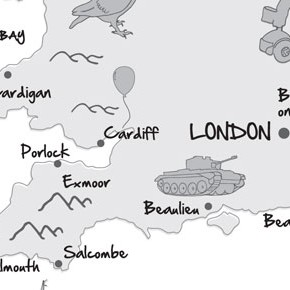
One Man and his Bike – Ebury Press
One Man and his Bike is about Mike Carter’s journey around the edge of Britain by bike. Commissioned by Ebury Press to add an illustrative feel to a traditional map to provide a little handmade feel with the illustrated icons of the places that Mike visited on his 5,000 miles journey.
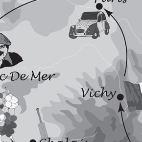
Detour de France – Ebury Press
Commissioned by Ebury Press to illustrate an Englishman search of a continental education in his journey around France. Picking a number regional aspects to illustrate the journey. After a cartoony yet actuate feel the map gives a sense of fun to compliment the story. Published: 7/5/2009
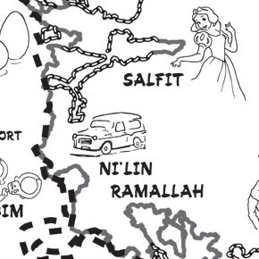
Extreme Rambling – Ebury Press
‘Good fences make good neighbours, but what about bad ones?’ Comedian Mark Thomas and Ebury Press commissioned Mitchells Maps to provide design and illustrations for his new book, entitled Extreme Rambling – a walk along the entire length of the security barrier between Israel and Palestine. The book details Mark Thomas’s excursion, speaking to both...
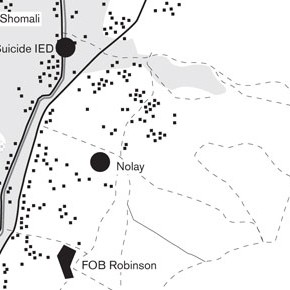
3 Commando: Helmand Assault – Ebury Press
Further to the first account of the men of 3 Commando Bridge, Ewen Southby-Tailyour brings a second set of interviews and explanations from the Marines and associated ranks that were there during the Op Herrick Tour of 2008-2009. The maps illustrations follow the style and productions of the previous title to accompany the accounts within the...
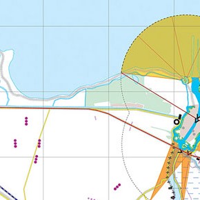
Eye 78 – Feature on Joost Grootens
The winter issue of Eye magazine features a fantastic interview and section of spreads on Joost Grootens the Dutch designer. His atlas and map designs for the Dutch water line defence and others show a meticulous level of detail but in such clean and prescribed way. His use of limited colour and choice of paper stock...
